Summer has arrived and, with it, restrictions have ended in Switzerland. Little by little we are returning to normality. The only reminder of the epidemic is the few people that wear masks on the streets of Zurich and the hand sanitizer at the door of every shop and restaurant… These past weeks didn’t feel so much like summer, though. The end of the spring season has been wet and stormy, with very dark clouds covering the sky almost every day. As every year, I celebrated my birthday while the sky was pouring down outside my window… What a contrast with the lock-down days, when the days were sunny and bright and warm! But with the beginning of the new season, the sun has decided to come back with strength! Soon it will be hot enough to swim in the Swiss lakes and rivers, yeeiiii!!
Last weekend, the sun decided to make a shy appearance after days of rain. The temperature wasn’t very high, so it was the perfect weather for a hike. This time, we decided to challenge ourselves with a new route, one that has been in my mind for quite some time already! The ascent to Augstmatthorn. Augstmatthorn (2137m above the sea) is a mountain of the Emmental Alps in the Bernese Oberland. Two of the things that made this a very special hike are the impressive views of the Brienz lake and a colony of steinbock (Alpine Ibex) that live nearby. We did a circular route, starting and ending in the beautiful village of Habkern . As we began the hike, we walked through forests and beautiful meadows incredibly full of all kinds of alpine flowers until we reached Alp Lombach. It was quite magical! Although, thanks to the recent rain it was also quite muddy… After that, the hardest part of the hike began: the ascension to the summit of Augstmatthorn on a very steep and muddy trail, with the only company of very happy Swiss cows. Once at the top (and while we caught our breath…), the stunning views of Brienzersee and its turquoise water and the mountains around it marvelled us. We continued walking along the narrow mountain ridge to the next summit, Suggiture (2085m), while the clouds danced around us. covering and unveiling the peaks on our way. From there, a trail through another forested area took us again to Habkern, where we ended our hike tired, with our boots covered in mud, the backpack full of alpine cheese we bought on local farms and very very happy! We didn’t see the steinbock… so now we have a reason to repeat this hike soon! 🙂
Here are some photos of this great hiking day. I hope you like them!
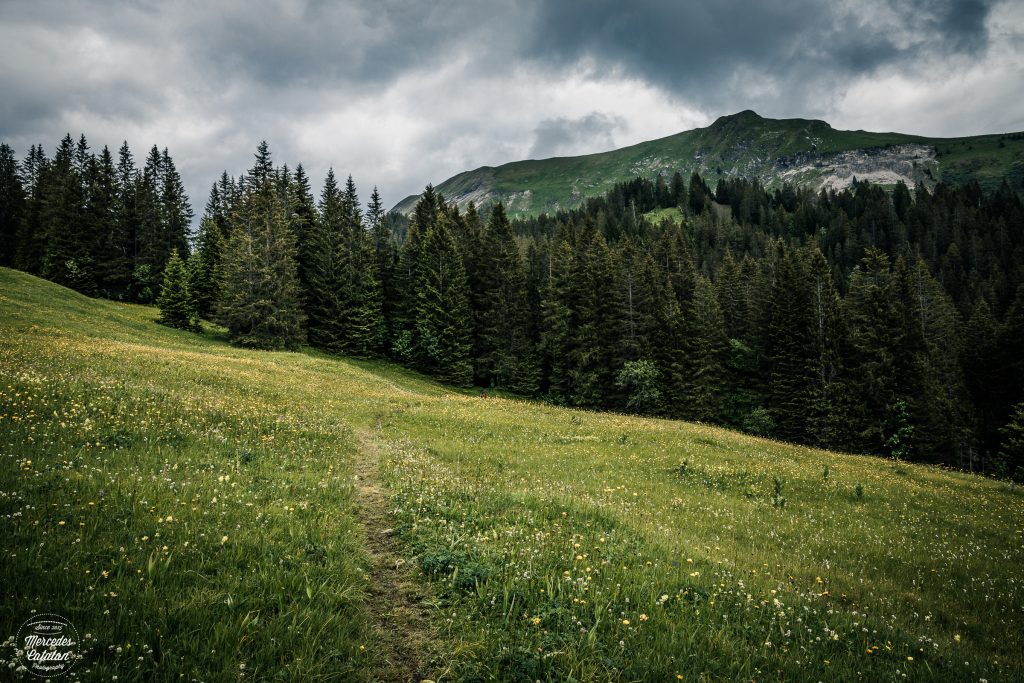
Alpine meadow. Canon EOS 5D Mark IV 24mm f/11 1/200sec. ISO160
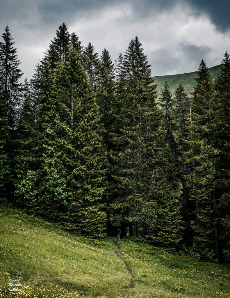
Gate to the forest. Canon EOS 5D Mark IV 50mm f/11 1/200sec. ISO160
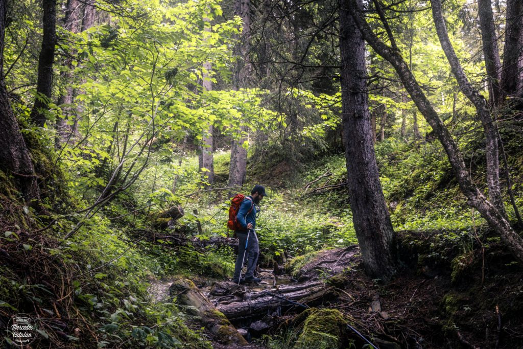
Crossing creeks. Canon EOS 5D Mark IV 44mm f/11 1/15sec. ISO160
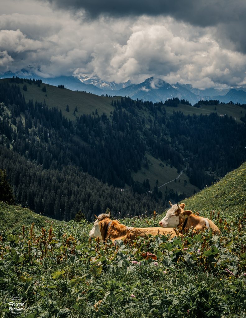
Swiss cows with views. Canon EOS 5D Mark IV 50mm f/11 1/250sec. ISO160
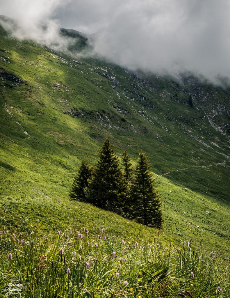
Sunny spell. Canon EOS 5D Mark IV 38mm f/11 1/250sec. ISO160
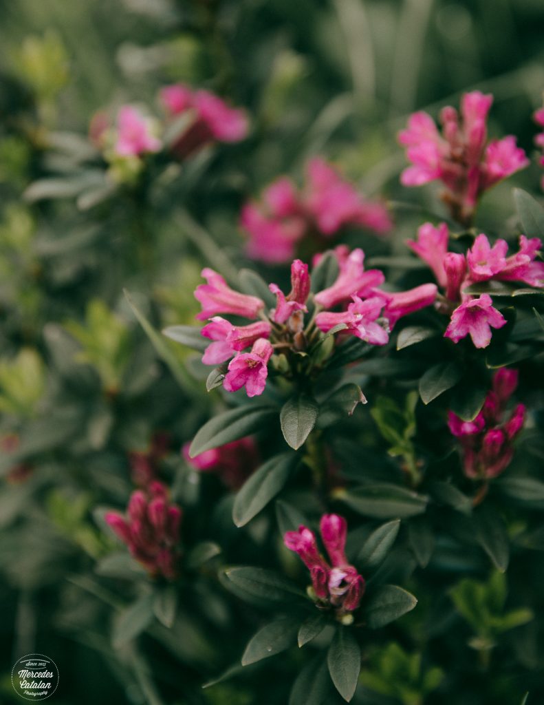
Alpenrose in bloom. Canon EOS 5D Mark IV 70mm f/3.5 1/250sec. ISO160
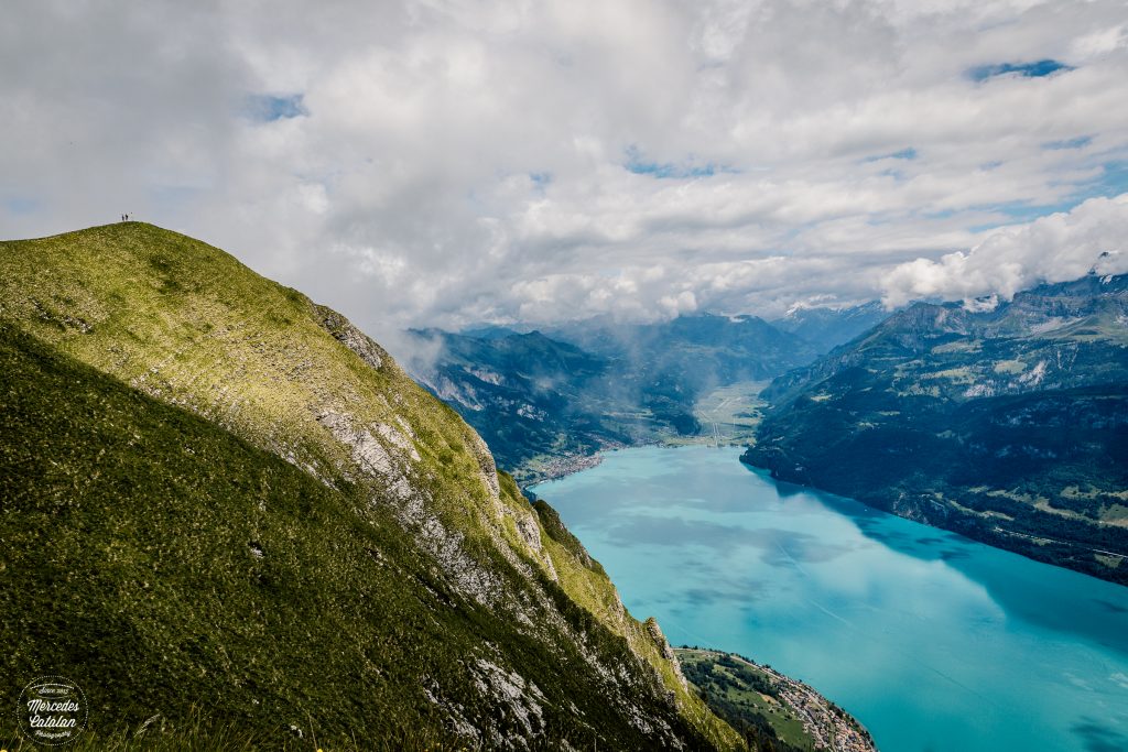
Augstmatthorn. Canon EOS 5D Mark IV 24mm f/11 1/640sec. ISO100
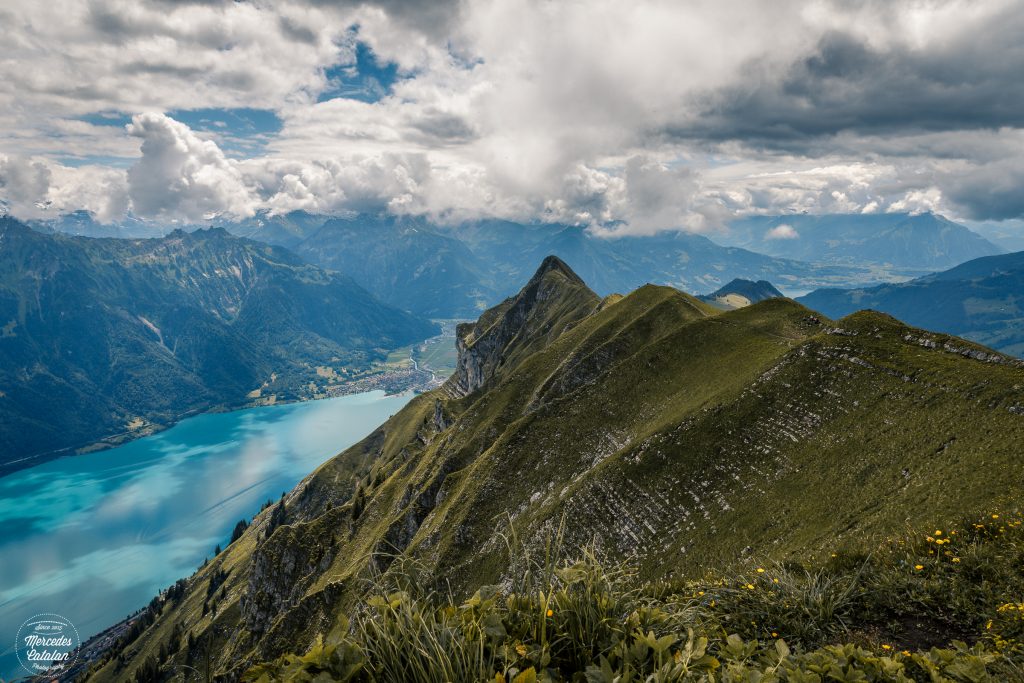
Suggiture. Canon EOS 5D Mark IV 24mm f/11 1/250sec. ISO160
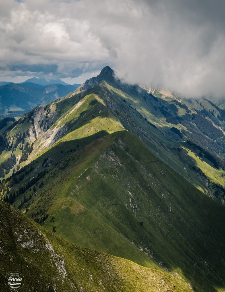
Hardergrat trail. Canon EOS 5D Mark IV 57mm f/11 1/250sec. ISO160
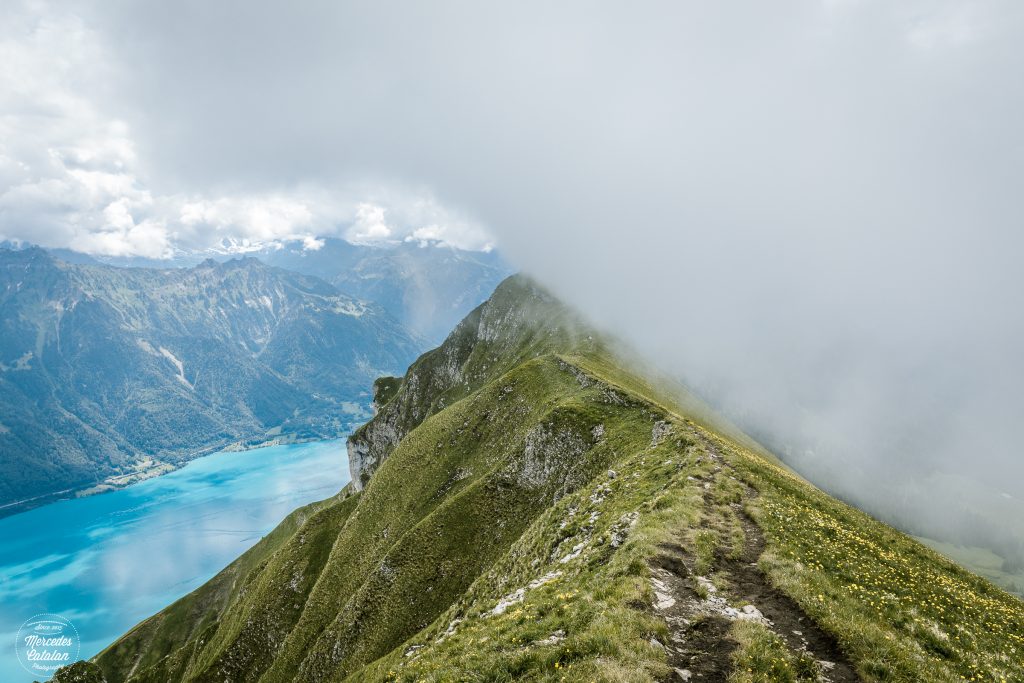
Fog over Suggiture. Canon EOS 5D Mark IV 24mm f/11 1/100sec. ISO160
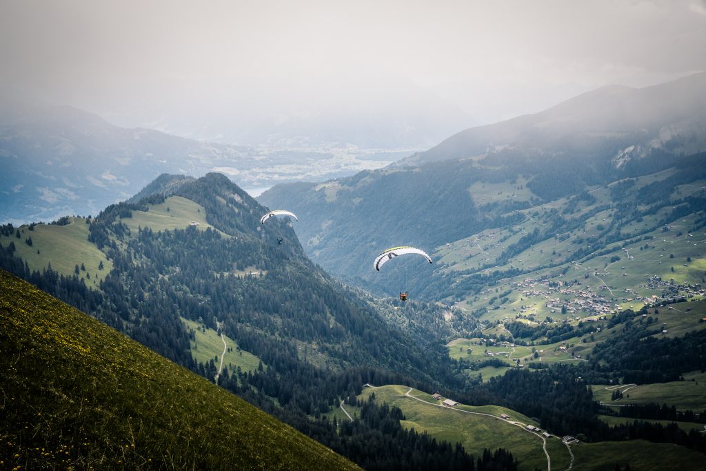
Paragliders. Canon EOS 5D Mark IV 55mm f/11 1/125sec. ISO160
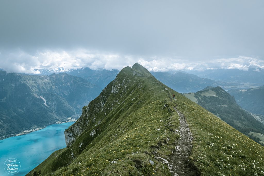
Trail to Suggiture. Canon EOS 5D Mark IV 24mm f/11 1/160sec. ISO160
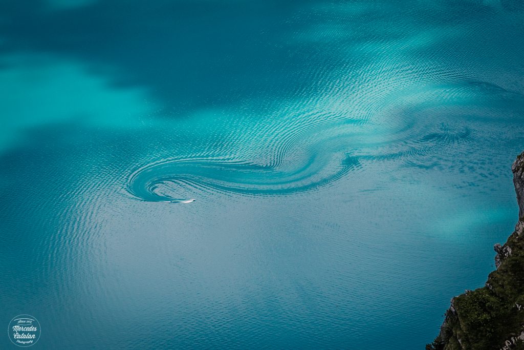
Brienzersee. Canon EOS 5D Mark IV 70mm f/11 1/160sec. ISO160
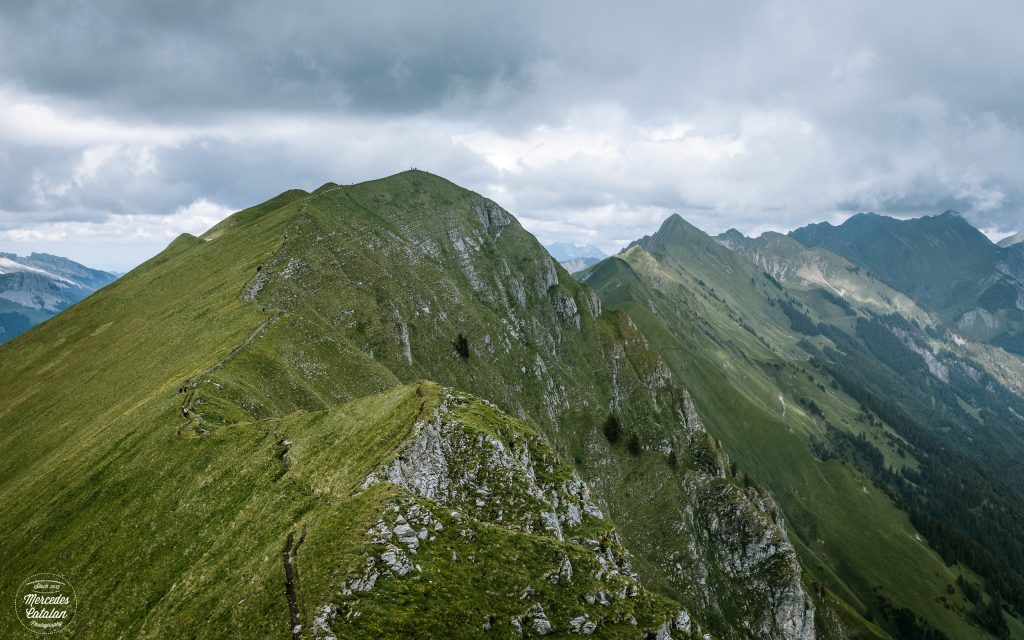
Augstmatthorn. Canon EOS 5D Mark IV 45mm f/11 1/160sec. ISO160
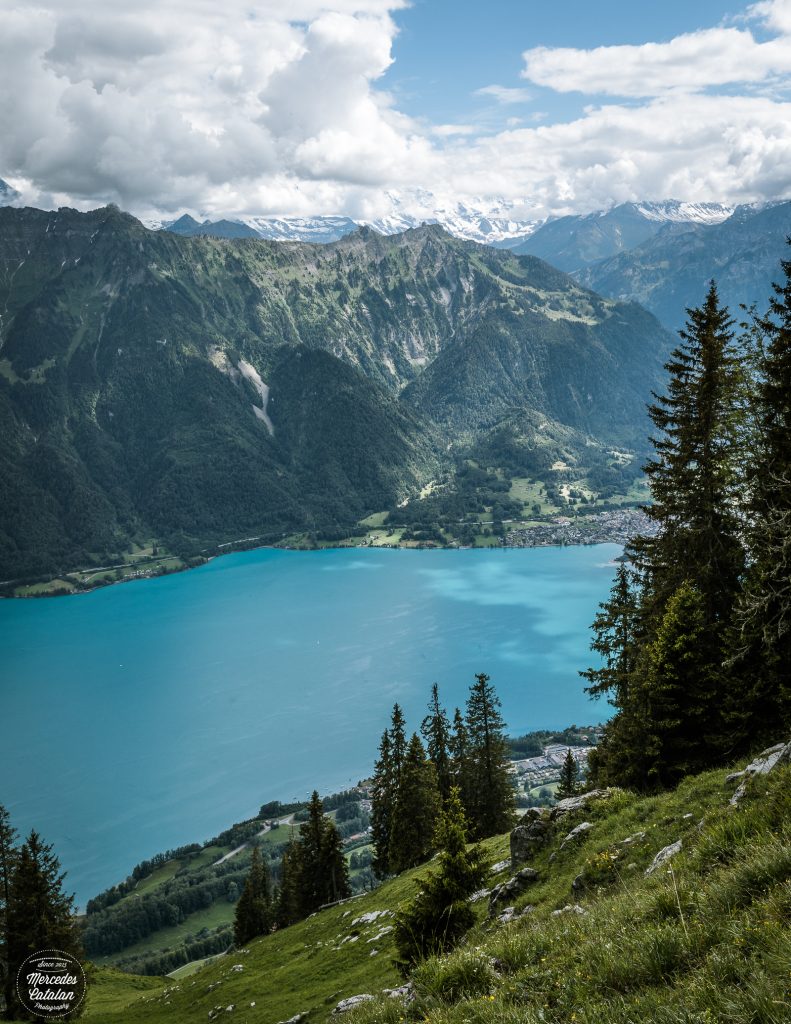
Brienzersee. Canon EOS 5D Mark IV 30mm f/11 1/160sec. ISO160
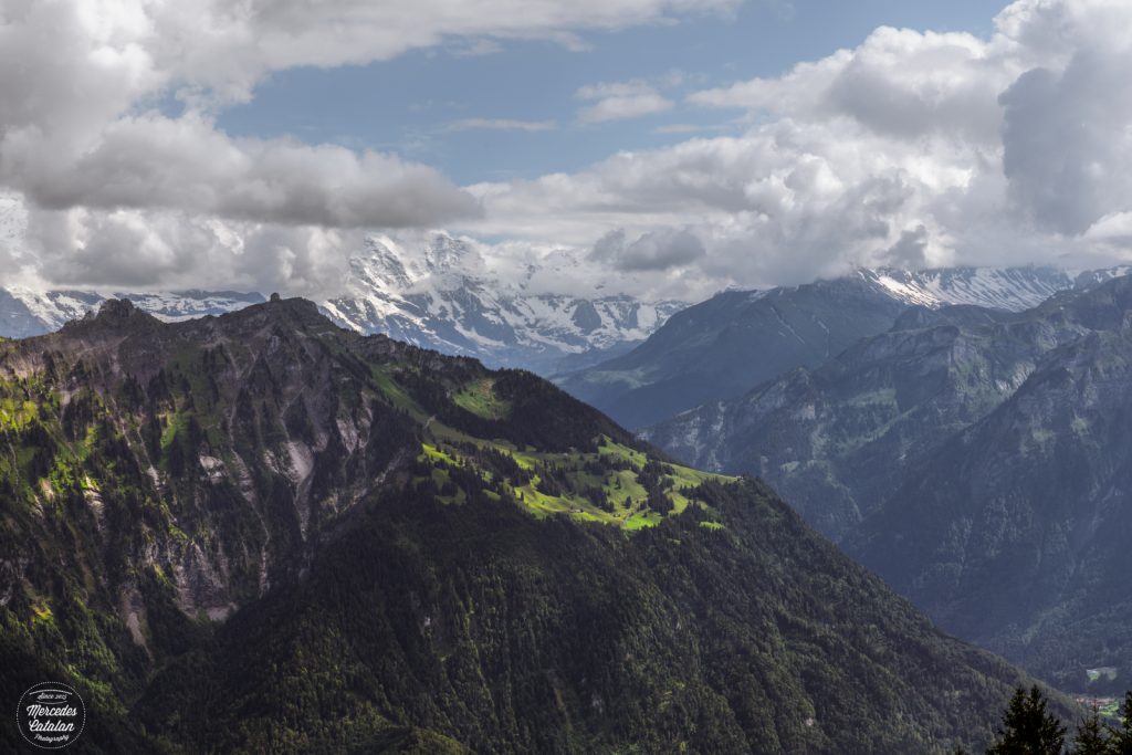
Bernese Alps. Canon EOS 5D Mark IV 70mm f/11 1/320sec. ISO160
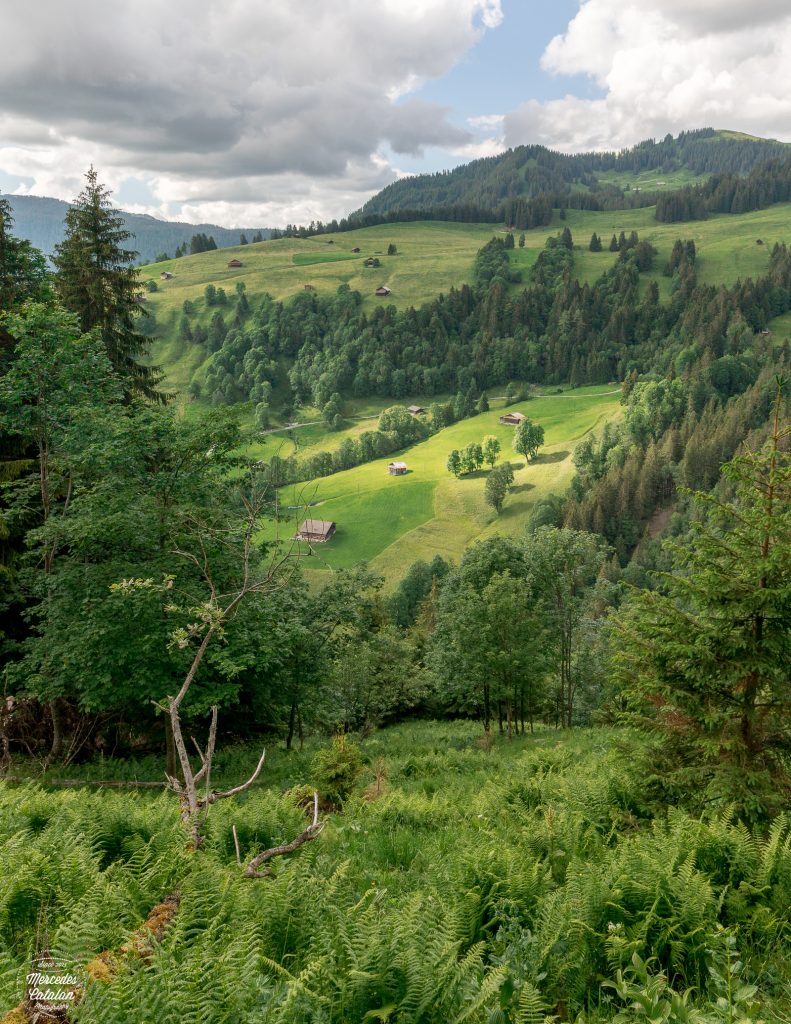
Farms in Hakbern. Canon EOS 5D Mark IV 24mm f/11 1/400sec. ISO100
PD: if you want to do this hike, please, plan it properly! There are parts of the trail not suitable for people with vertigo or fear of heights and the ascension can be quite exhausting. Always check the terrain and weather conditions before a hike 🙂
You never fail to take my breath away, Mercedes, with your stunning photo gallery. Some of the shots looked like the front of a jigsaw box they are so picturesque whilst others have water so turquoise it is unbelievable. What an awesome walk this was? The path along the top of the ridge looks liked though you could be walking on the mane of a giant horse! How long did the hike take you?
Thanks a million, Amanda!!! The views of the lake were one of the main reasons why I wanted to do this hike! The other were the steinbocks, but they weren’t there that day… And it’s stunning when there is a bit of fog around! We were super lucky with the weather that day. Not too hot, not too sunny, but not too cloudy either, so the fog came and went just when we were catching our breath at the top of the ridge… Best moment to take a few photos! Then the fog just dissipated and the way down was perfect (maybe also a bit too steep, I had a bit of pain in my knees at the end…).
This hike was a bit long… The ascent was a bit exhausting, it was very steep and we also carried looooots of mud on our boots! I’ve never ended up with my boots so dirty as I did after this hike, hehehe. I think it took us almost 8 hours to complete the route. But there are shorter versions, where you can take a cable car and just hike part of the ascent to the summit and then go down.
The cable car option sounds better for me but I can see the benefits in a strenuous hike like this. And the reward is the enjoyment of tgis special kind of nature. Fantastic. Do you follow Lisa Bradshaw? She has a blog in a similar area of the world and loves hiking in these mountains- more towards the French end, I think. You can find her in the comments on my blog if you want to find her.
Cable cars are always a great help! Hehehe. But we are trying to avoid them these days… Trails that start at the top of a cable car are usually more crowded. The ascent is always challenging and exhausting, but you feel sooooo good when you finally reach the top! The views are always the greatest reward, but you also feel proud and that you have accomplished something 🙂 Going down is supposed to be easier, but for me it’s a bit painful, my knees always hurt with steep descents…
I didn’t know Lisa…. But I’m going to check your posts to find her! 🙂
I have heard that descents are harder on one’s body than ascents. And you don’t have the exhilaration and reward to look forward to, only that the hike is over. But still the sense of achievement is there.
I’ve been thinking about this recently… My husband would tell you that I complain more when we go up. I’m improving that, hehehe, but I still find the ascents hard and exhausting! But we are also doing more challenging routes every days. And yes, that feeling of exhilaration is always there when you reach the top!!! And it’s awesome!
But descents have their difficulty too! Apart from the knee pain, there are certain terrains where you can slip so easily… I’ve never fallen going up, but a few times already going down, hehehe. But there’s something I know: I don’t like finishing a hike going up!!! I prefer the exhausting part first, hehehe
Habkern not Hakbern.
Thanks a lot! I’m still struggling with some Swiss names 🙂
Once again beautiful photography and story. I’m glad to hear that reopening in your area hasn’t caused a resurgence of the virus. Here it has. It’s a tough call. I couldn’t believe how quickly the US economy went into recession. Stay safe Mercedes, we need the beauty you provide us!
Thanks a mil, Anne!! It feel so good to be in the nature every now and then… We’re taking it easy this year… Avoiding crowded places and the days with the best weather so we can be more or less alone hiking… It looks like all of Switzerland has the need to go outdoors these days!! Or better said, it seems that the need is bigger than ever!! (Swiss people love their mountains and all kind of outdoor activities, hehehe)… We are still working from home, and it seems it will take some time before we return to the office, and we avoid the city and public transport as much as we can! Unfortunately, numbers are rising again also in Switzerland and this time, Zurich has the worst part… I hope people start taking it more seriously and start wearing masks and maintaining social distancing…
Anyway, I hope you’re also well, Anne! I hope I can go to the mountains soon again and bring you more Swiss landscapes to your screen!!
Stay safe!!!
Seems like quite a hike!!! After having kids, I wouldn’t be up to that anymore! The views are of course amazing, and so is your photography, as always 💕 My fave is the turquoise swirl!
Thanks a mil, Snow!! If you were Swiss, you would take them to hike almost as soon as they start walking, hehehe. Well, maybe hiking no, but Swiss children start skiing at three!! So it won’t be long before you could take them to easier trails 🙂 But yes, this one was quite a hike, hehehe! We ended up exhausted! But it’s so worth it!
About the turquoise swirl… I saw it from above and I just loved the shapes and the colors! I think it was a person doing water ski! I can’t be sure, hehehe… I thought about changing lenses, but we weren’t at the easiest part of the ridge, so I just zoomed with what I had at that moment, hehehe. I wasn’t sure about this photo, but I’m happy now we’re two that like it!! :)!!
I love it!!! Your story about Swiss kids reminds me of when hubby and I hiked in Patagonia in a mountain area but it was just a short hike, not climbing or anything, but it was still quite an ascend. Anyway, I was fit back then and still panting out of breath… and then came a family that passed us on the trail, the little girl was wearing a pink backpack and casual school clothes and she sprinted past us in no one! The family was out of sight and we were still hiking 😅🤣 Locals..!!!!!
Hehehe I see that scene too often in Switzerland!! Small children just walking pass us as if the slope were nothing, while we are out of breath, hehehe. But it also happens with older people! I’m amazed by that! People of the age of my grandmum, just hiking as if they were 20 years old. And there are many! I guess that’s a life of many many hikes in the mountains, you have strong hearth and legs when you’re old and you can still enjoy nature at its best!!
About the children… This is something I admire from the Scandinavian countries and Switzerland. It seems that they spend a lot of time outdoors since they are very very young. And they develop a love for the outdoors since a very young age! And more importantly, they know hoy to behave when they are outdoors! I think it’s all connected. For example, I didn’t see any garbage in the forest when I was living in Sweden, or when I visited Finnish Lapland last year, or here in Switzerland… you wouldn’t believe how some places in Madrid mountains are (or in Ireland!!). I wish they would educate us in other countries like this, loving nature and loving to spend time in it.
Interesting! True, I guess. What I remember from my childhood in Australia was that we were always outdoors, but in Finland our life suddenly became locked inside in our tiny flat. Maybe for most Finns it’s different! My boys surely spend time outside at daycare every day, no matter what the weather was like! 😆
Well, maybe not all people in Scandinavian countries spend time outdoors everyday… not even the Swiss!! But when I was living in Stockholm I was astonished to see small children in daycare playing outside everyday, not matter the weather… Here in Switzerland is the same, or even more: apparently all children spend at least one day in Uetliberg (Zurich’s “mountain”) or the nearby forest and it’s not rare to see a small group of kids and their teachers strolling around my little town or in the bus and tram going to the city, all dressed with their tiny reflective waistcoat. I find it super cute!!! And I guess that’s why it’s more common to find teenagers hiking on weekends than making “botellón” like in Spain…
😍
Would love to hike there!!
Jo told me you hike on the French part of the Alps! I’m sure you’d love this one… after three years hiking in Switzerland, this route is one of the most impressive I’ve made!
I looked it up.. amazing.. I am close to Geneva so one day will make the effort.. 😉
A trip to this area of the Bernese Alps is always worth it! Apart from this hike, the valleys of Lauterbrunnen and Grindelwald and Kandersteg have impressive routes! And probably this summer is a great time to go. This part of the Bernese Oberland attracts many international tourist, so this year is going to be calmer, perfect for hiking 🙂
I want to do this hike, I want to see those mountains, that lake is 😍😍…. that turquoise water cannot be real, can it?! The cows in their pastures and the mountain flowers so vibrant!!! It hasn’t taken my breath away.
The hike sounds challenging, but it looks so rewarding. My favourite photo is of the lake with the s on its surface…. was it created by a boat? Or it is a current?
So happy you like this post, Blanca!! I’m still proud of having finished this hike… After the lockdown, I felt like I wasn’t fit for anything, so completing this hike felt incredibly good!! Hehehe. And, of course, the views are always the best prize for the effort!! 🙂
The S on the lake… I think it was someone water skiing!! I can’t be sure, as I wasn’t using the telephoto lens at that moment (it was actually one of the steepest and more exposed parts of the hike, so I just took a quick shot because I loved the textures the boat was making). I just loved the colors and the texture of the lake at that moment (and then, I cropped the photo too much just to focus the composition on the “S”, hehehe)